
Tag Archives: Browse
Browse a 3D map of the world’s 2.75 billion buildings
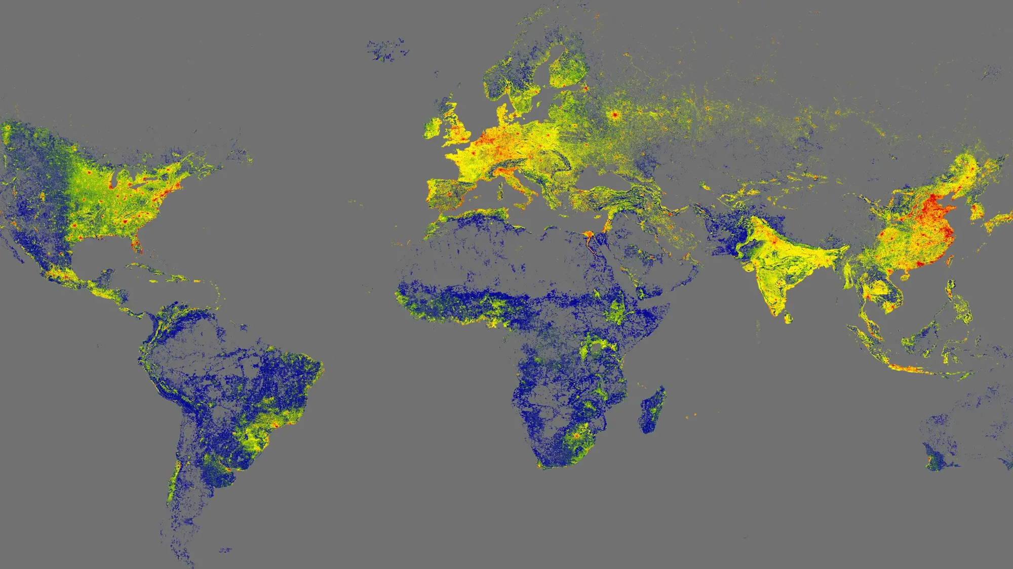
GlobalBuildingAtlas is based on data collected up to 2019. Credit: Earth System Science Data
Get the Popular Science daily newsletter💡 Breakthroughs, discoveries, and DIY tips sent every weekday.Researchers in Germany recently accomplished a truly audacious feat of cartography. Using a diverse array of datasets, a team at the Technical University of Munich released GlobalBuildingAtlas, the first high-resolution mapping model featuring every structure in the world at a given point in time.
However, the open-source project isn’t about bragging rights. With over 2.75 billion buildings detailed in the map, the endeavor will help create accurate analyses of urban structures, volume calculations, and infrastructure planning around the planet.
“3D building information provides a much more accurate picture of urbanization and poverty than traditional 2D maps,” research lead Xiaoxiang Zhu said in a statement. “With 3D models, we see not...


